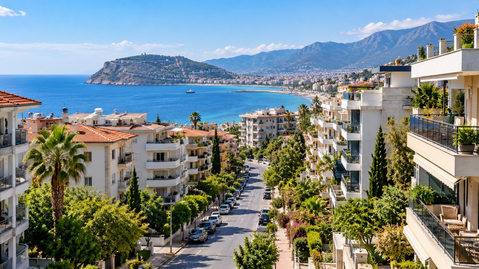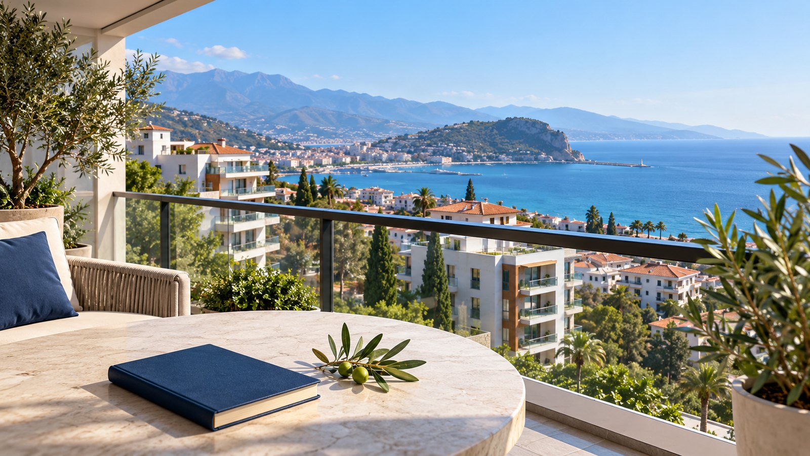
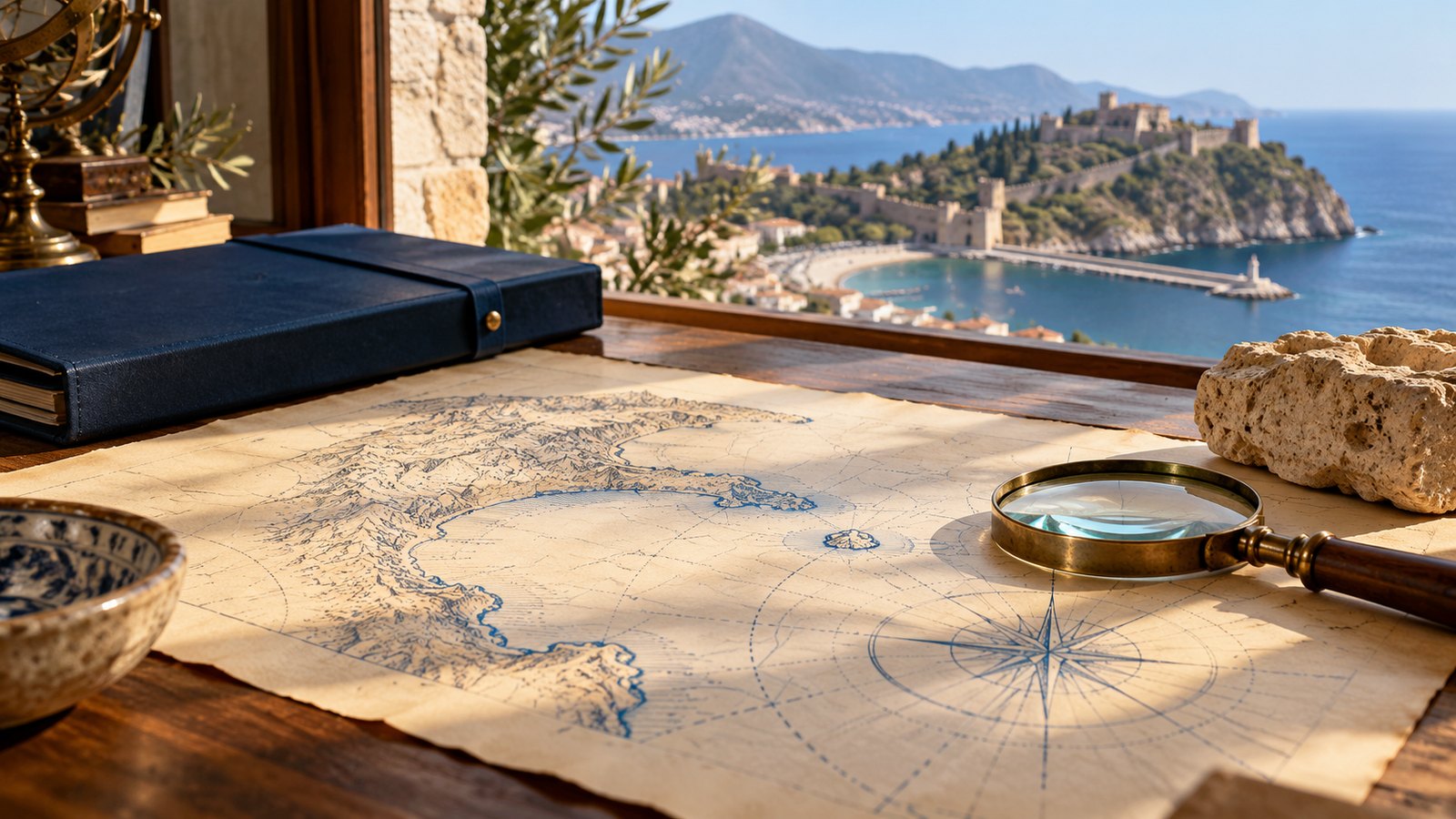
Alanya’s changing names, fortified peninsula, harbour and museum collections offer several ways to understand the city’s past. Read maps alongside surviving buildings and official historical descriptions.
One city, several names
Alanya’s past can be read in its place names as well as its stonework. The ancient city was known as Coracesium (Korakesion); a fourth-century BC account by the geographer Scylax is among the early references cited by Alanya Municipality. In the Byzantine period the city was called Kalonoros. After Alaeddin Keykubad took it in 1221, it became Alaiye. These names point to different periods in the same coastal landscape.
Reading the peninsula through its walls
The castle occupies a steep peninsula above the harbour. Its walls extend for about 6.5 kilometres, and the site brings together remains from Hellenistic, Roman, Byzantine, Seljuk and Ottoman periods. Churches, mosques, a bath, tombs, cisterns and the remains of palaces sit within the fortifications. The Antalya Provincial Directorate of Culture and Tourism describes how the Seljuks strengthened the walls and added new fortifications and cisterns after the city joined their territory.
The harbour and the Red Tower
At the eastern edge of the harbour stands the Red Tower, or Kızılkule. Built in 1226 to protect the port, the octagonal, five-storey tower gives a clear sense of how closely the city’s defences were tied to the sea. Read together with the shipyard and the shoreline, it helps explain why the peninsula mattered as both a stronghold and a harbour town. The Ministry of Culture and Tourism records the tower’s date and defensive purpose.
What a map can—and cannot—show
A map places the harbour, peninsula, walls and routes in relation to one another. Historical maps may use different names or simplify the coastline, so their date, purpose and scale matter. Comparing a map with the surviving gates, towers and streets turns it from a picture into a guide to the city’s changing geography.
Objects that complete the picture
Alanya Archaeology Museum holds finds from Archaic, Classical, Hellenistic, Roman and Byzantine periods, as well as Seljuk and Ottoman works. Coins, inscriptions, ceramics and architectural remains add details that a map cannot carry. The Alanya Museum Directorate describes the range of material on display.
Alanya’s history is not contained in one monument or one map. The walls show where the city defended itself; the harbour shows how it faced the sea; the museum and place names connect those traces to the people and periods that shaped them.
When a historic setting attracts you to a home, use the property-purchase checklist to distinguish the character of a neighbourhood from the legal checks on the specific property.
To compare the historic centre with other places to live, use the Alanya neighbourhood comparison and inspect the actual walking routes, access and building expenses.
Ask Tropicana Home about homes in Alanya, then check the setting and property documents independently.